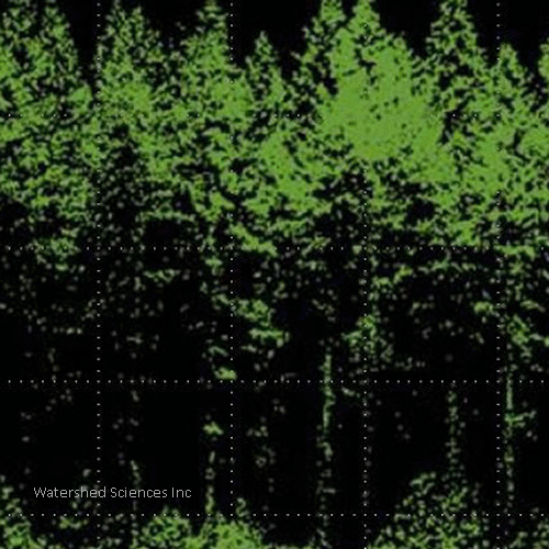
 Airborne Lidar (Light Detection and Ranging) is a relatively recent development in remote sensing. A laser mounted on a small plane scans all land cover below and records the time and distance traveled by each pulse. Once the pulse data are analyzed and aggregated into pixels, the resulting imagery represents an extremely fine resolution elevation profile of land cover. On forested landscapes, Lidar can provide researchers unprecedented views of canopy structure and understory vegetation. Such information allows wildlife ecologists to examine relationships between fine-scale forest characteristics and a species’ habitat use never before possible.
 The Oregon Office of the Bureau of Land Management (BLM) is coordinating a major research effort that is investigating the use of Lidar for improving models of stand growth/yield, forest inventory and monitoring, and natural resource mapping. As part of this larger effort, OWI is collaborating with the USGS Forest and Rangeland Ecosystems Science Center and faculty from Oregon State University to investigate breeding habitats of two threatened bird species: the marbled murrelet (Brachyramphus marmoratus) and northern spotted owl (Strix occidentalis caurina). The goal of the study is to improve maps of breeding sites thereby allowing forest managers to conduct more efficient surveys for these species and protect critical habitats.
The marbled murrelet results have been published.